Sea and Shores Home - Bolinas Bay    San Mateo Coast
Set Speed:   ---  To view it better, try the F11 key.
 
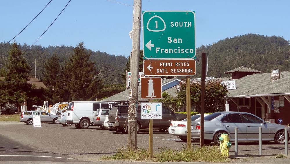
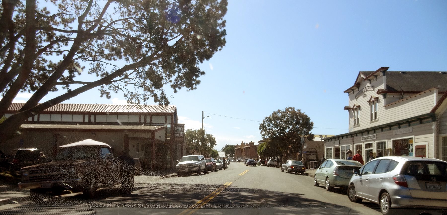
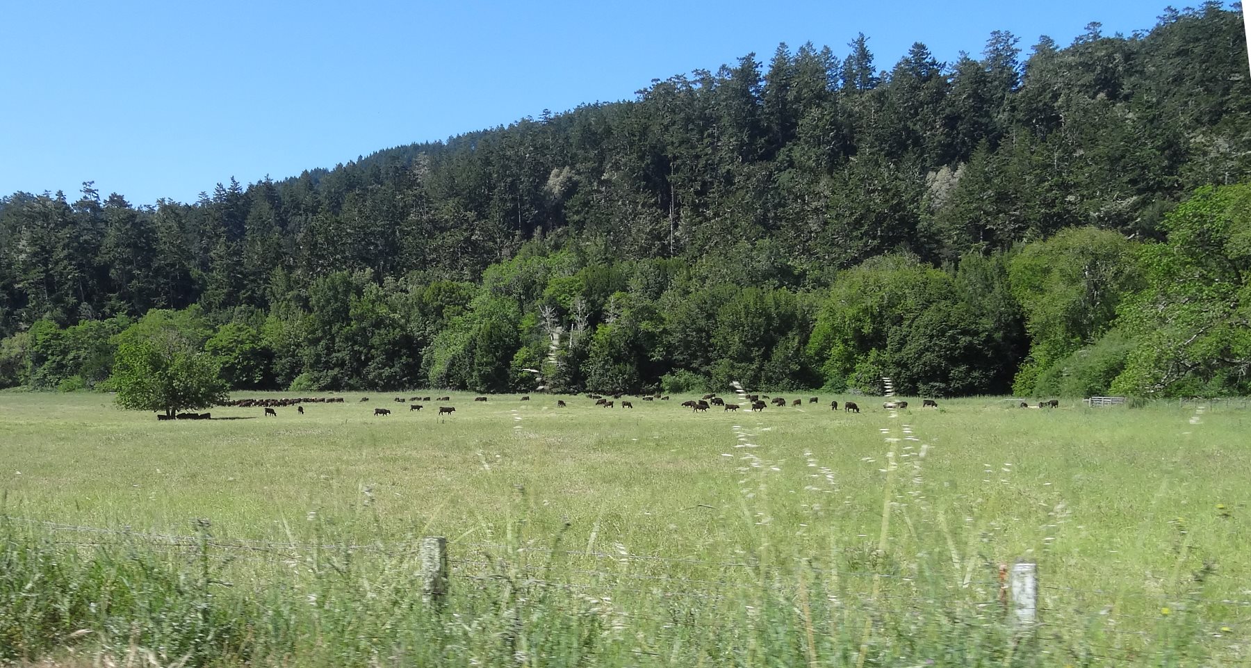
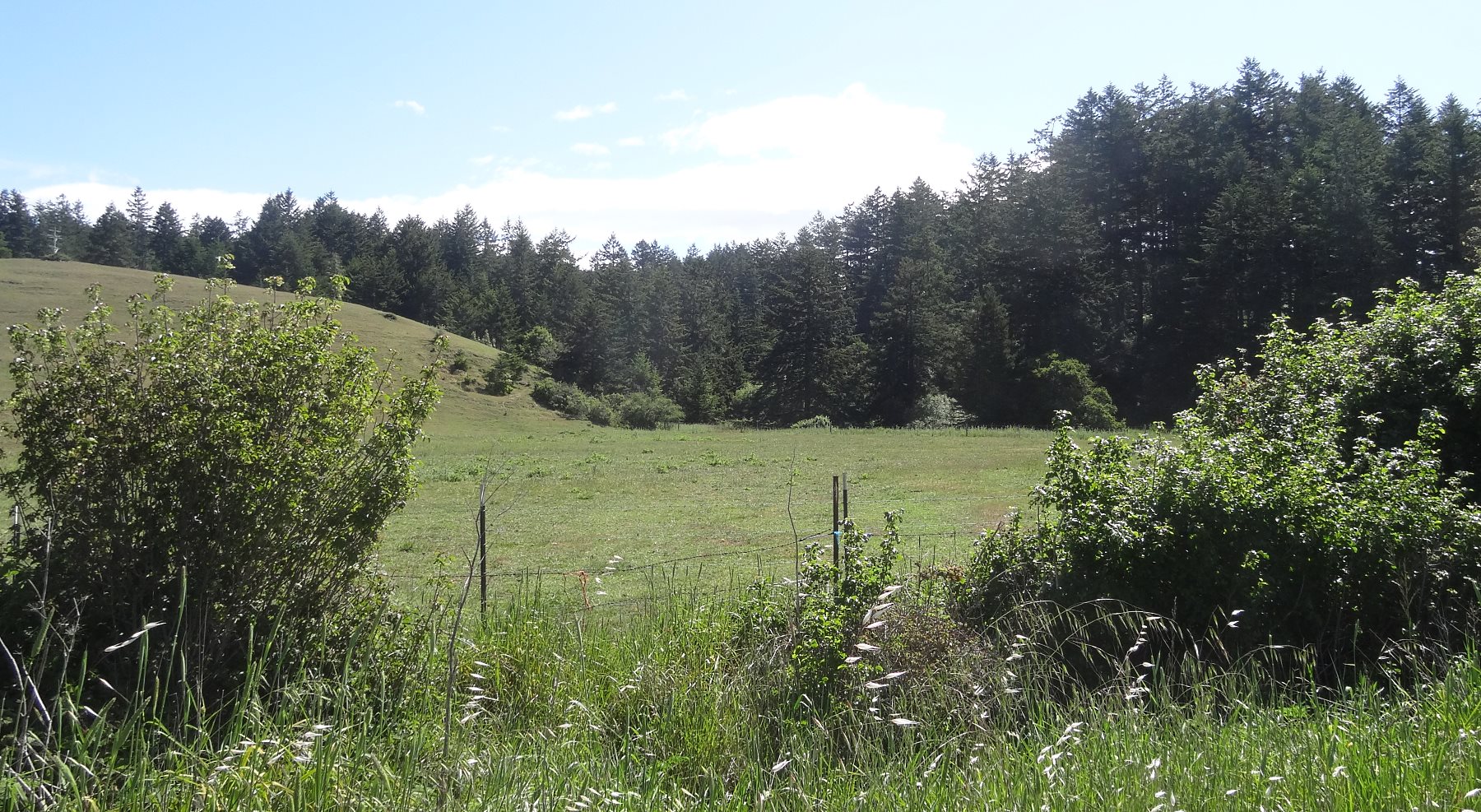
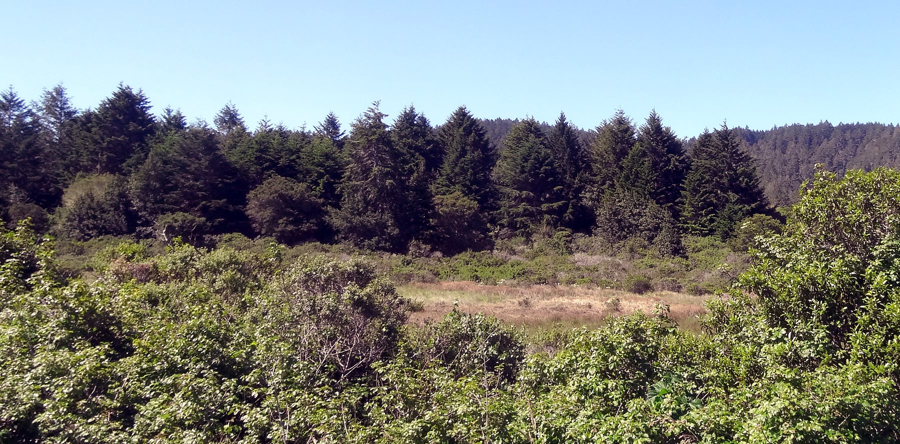
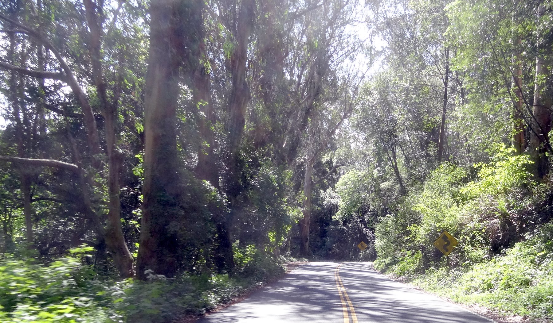
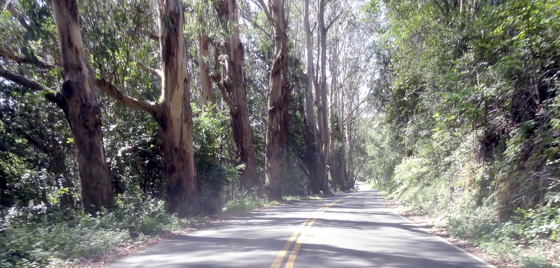
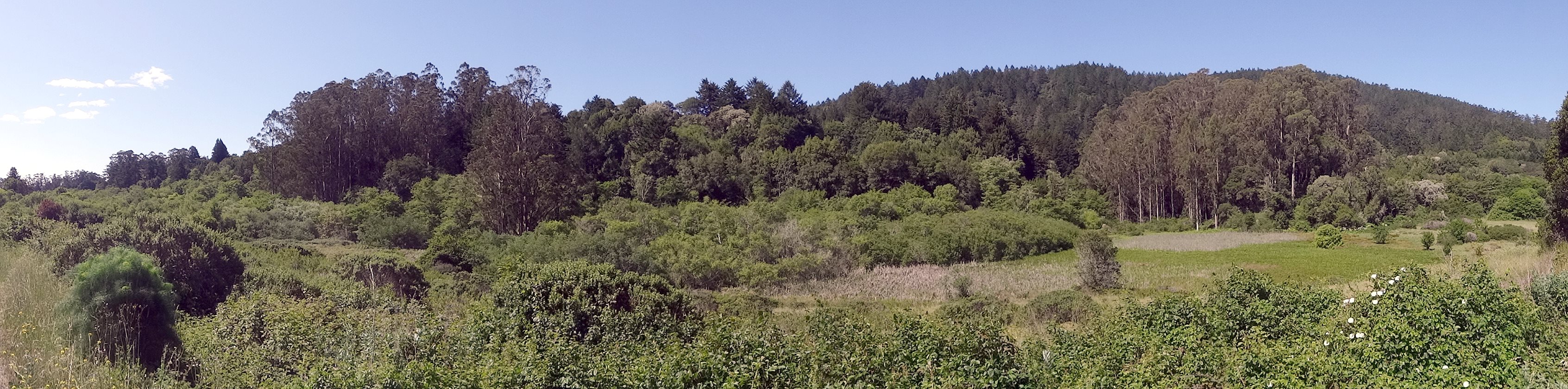
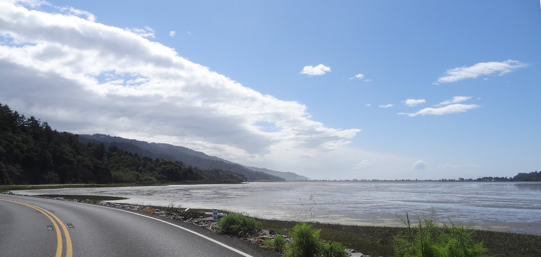
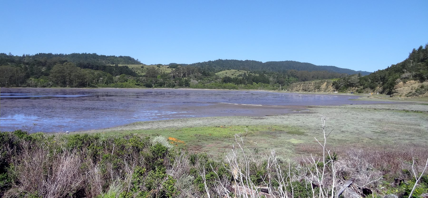
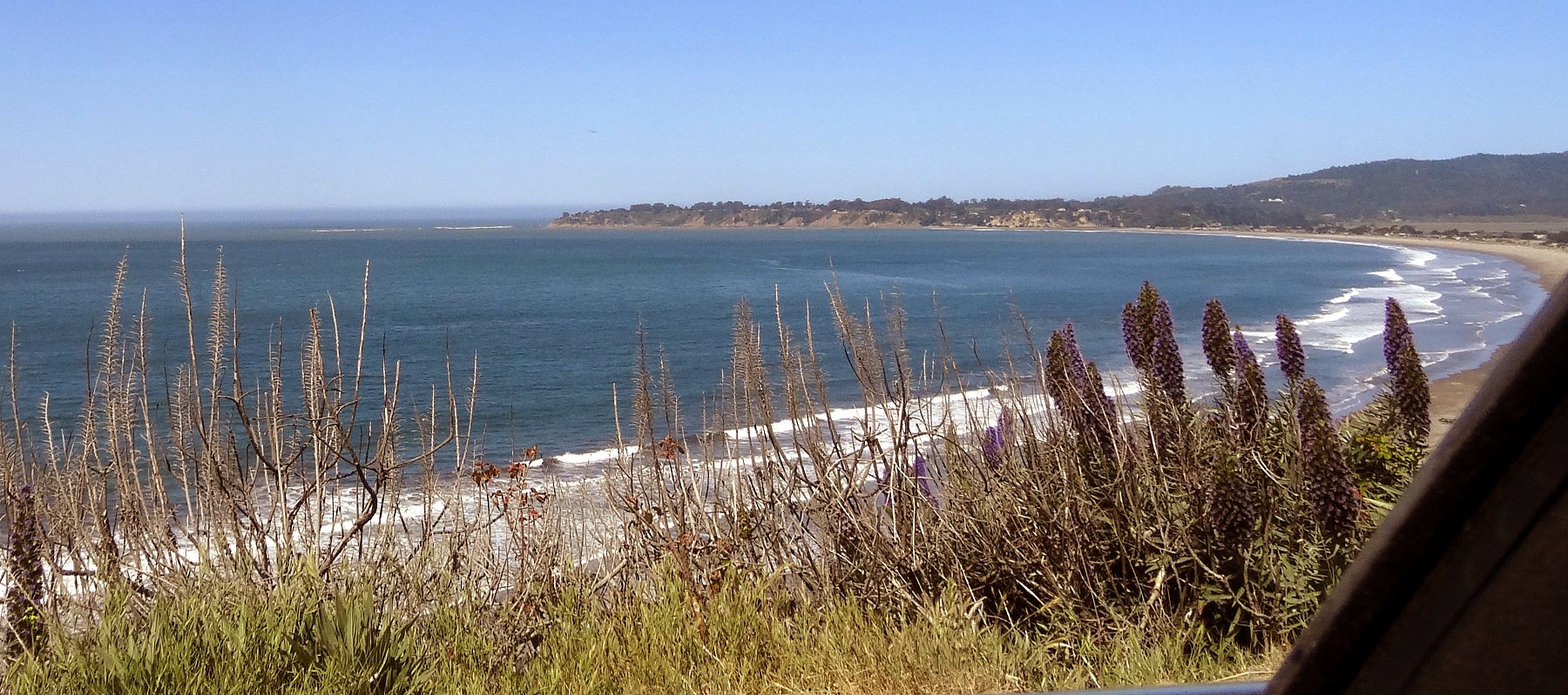
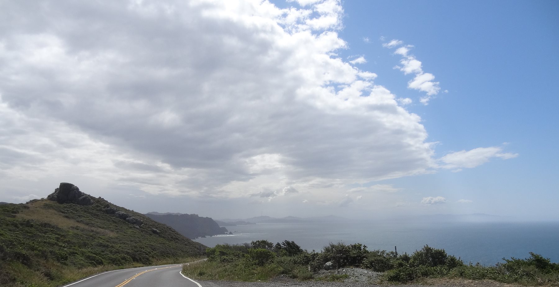
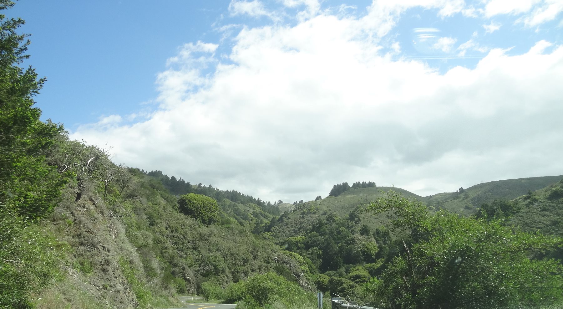
At the southern end of Tomalas Bay is Point Reyes Station. Here you can cross to Inverness and go on to Point Reyes Light House. It is a beautiful wind swept area to remote to show a heavy hand of humans.
Point Reyes Station. There's not a lot to it, but you can't beat it for a day or weekend trip. There are many 5 star restaurants in the area as well as lots to see.
The road follows the San Andreas fault into forested hills.
Some of the trees are firs, but there are groves of Redwoods. A few hundred years ago, this entire area was giant Redwoods. It is what San Francisco was built of.
A lot of the area is coastal scrub and chaparral.
At the highest part of the road, it winds along a narrow creek as it starts to descend again towards Bolinas Bay.
There are huge Eucalyptus trees. They need less water than most of the locals, except the Oaks.
(Wide) It is lush and diverse. There are B&Bs, hiking trails, camp grounds, horse rentals, pretty much everything you can do in a beautifully forested area.
Eventually you reach sea level again at Bolinas Bay. The autobahn Society has purchased much of the land here, because it supports huge populations of sea and shore birds.
The birds love it, but I would not recommend going for a walk in the mud there.
That is Stinson Beach. I guess this is Bolinas Bay inside of Drakes Bay if you consider everything inside of Point Reyes to San Francisco be Drakes Bay. It's about 40 miles across.
Hiway 1 rises steeply along the coast. This is a place where the land moves continuously and the roads have to be fixed each year.
Finally the road turns inland across the Marin Highlands towards Muir Woods and then meets Hiway 101 just north of the Golden Gate at Sausalito.