Sea and Shores Home - Tomalas Bay    Drakes Bay
Set Speed:   ---  To view it better, try the F11 key.
 
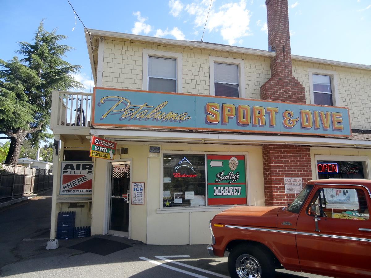
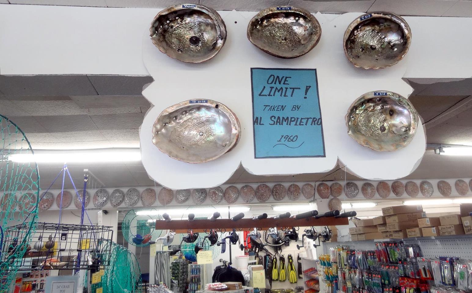
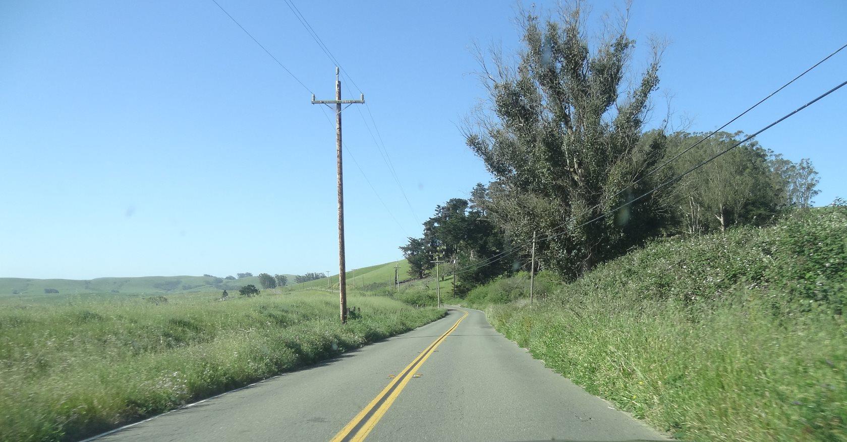
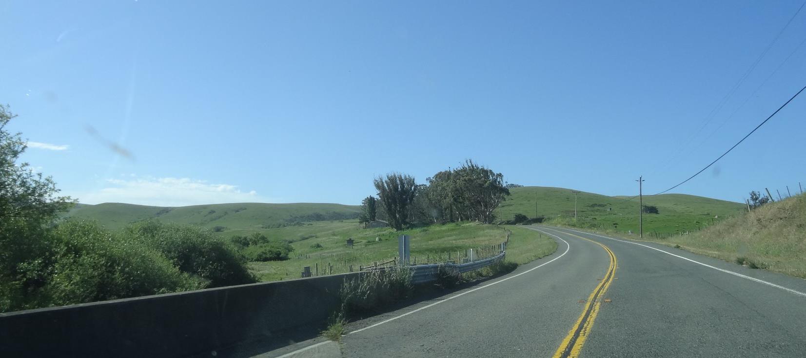
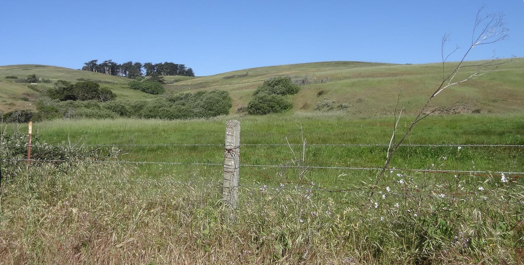
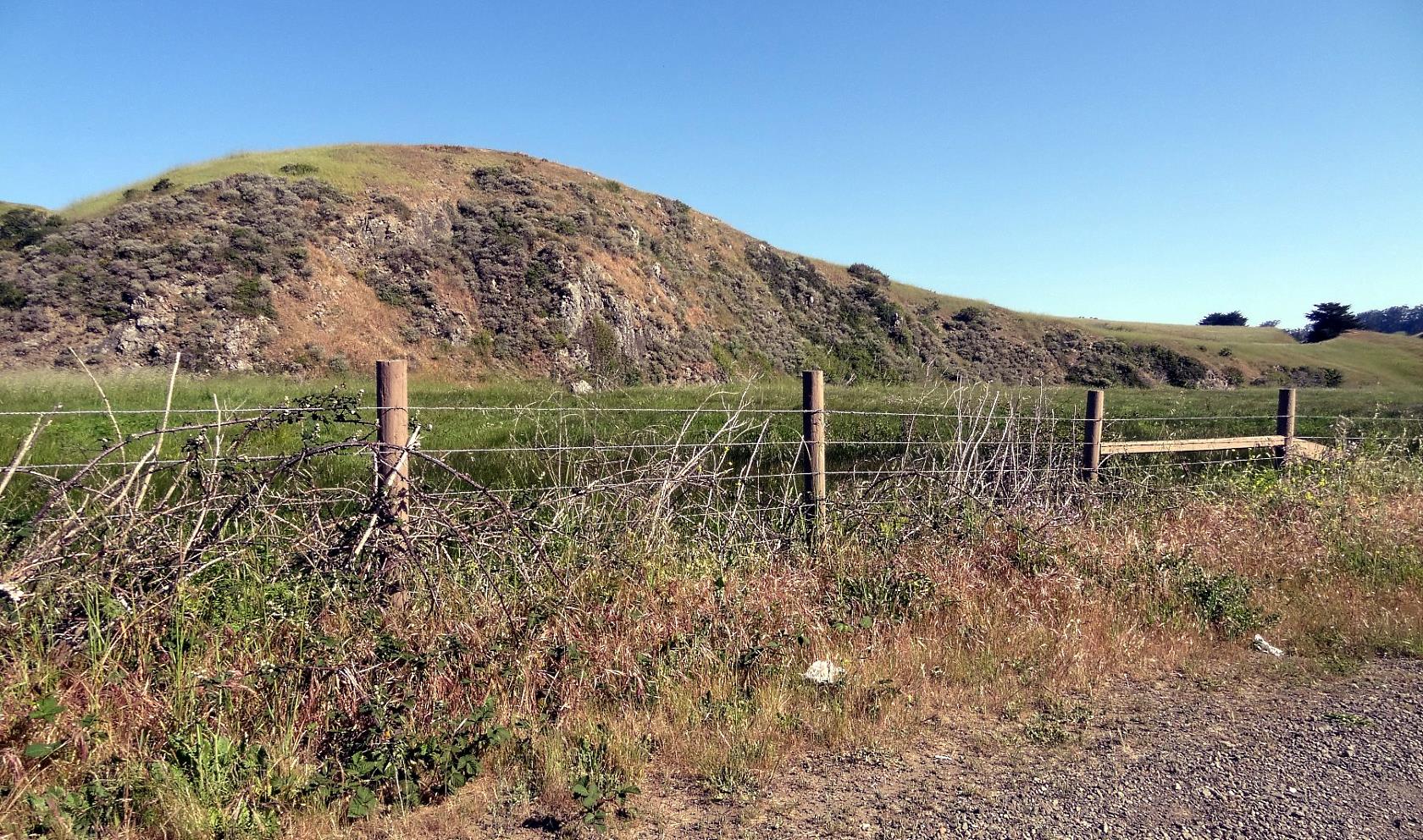
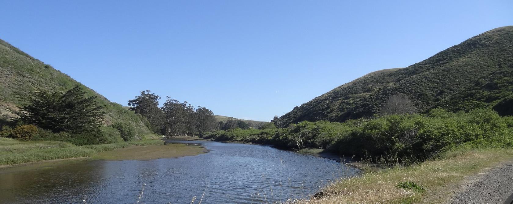
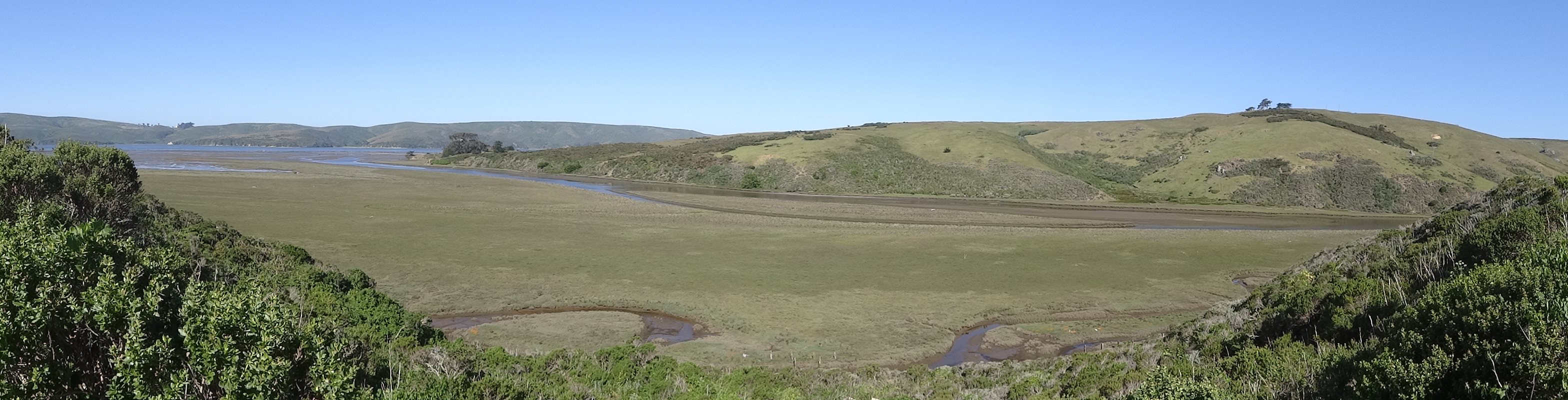
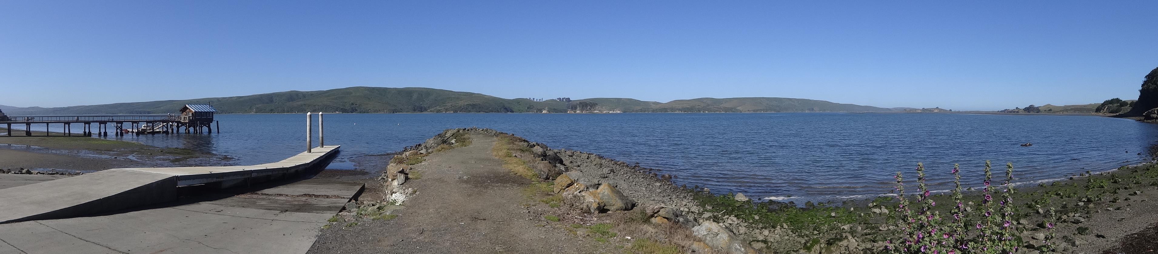
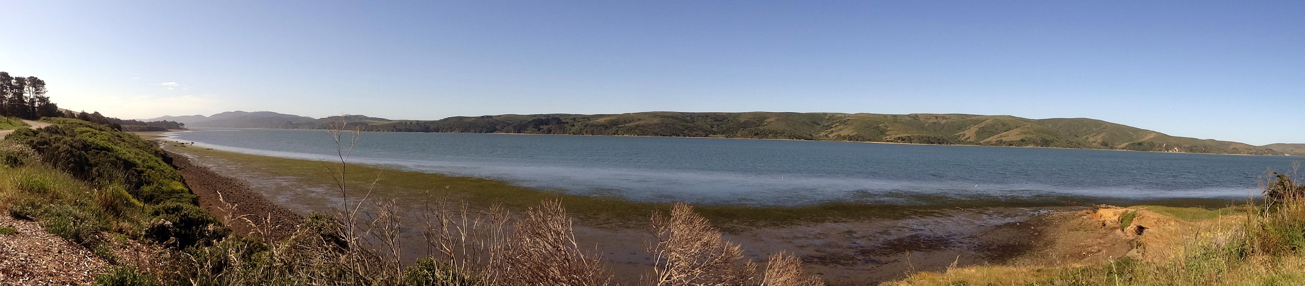
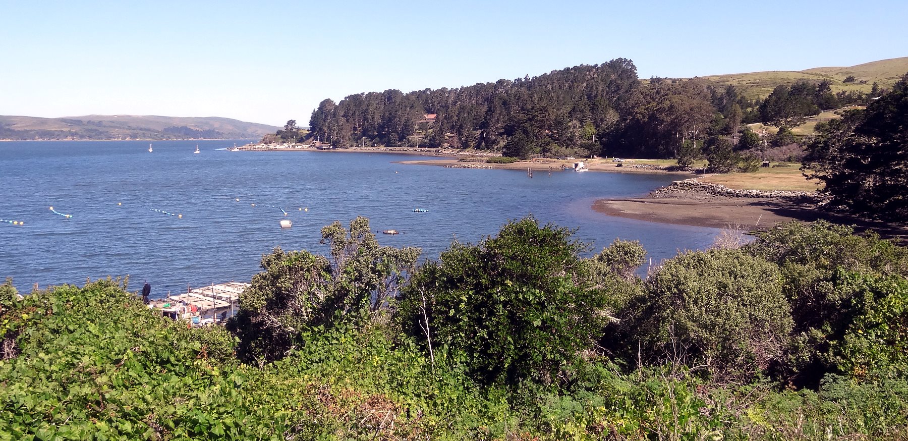
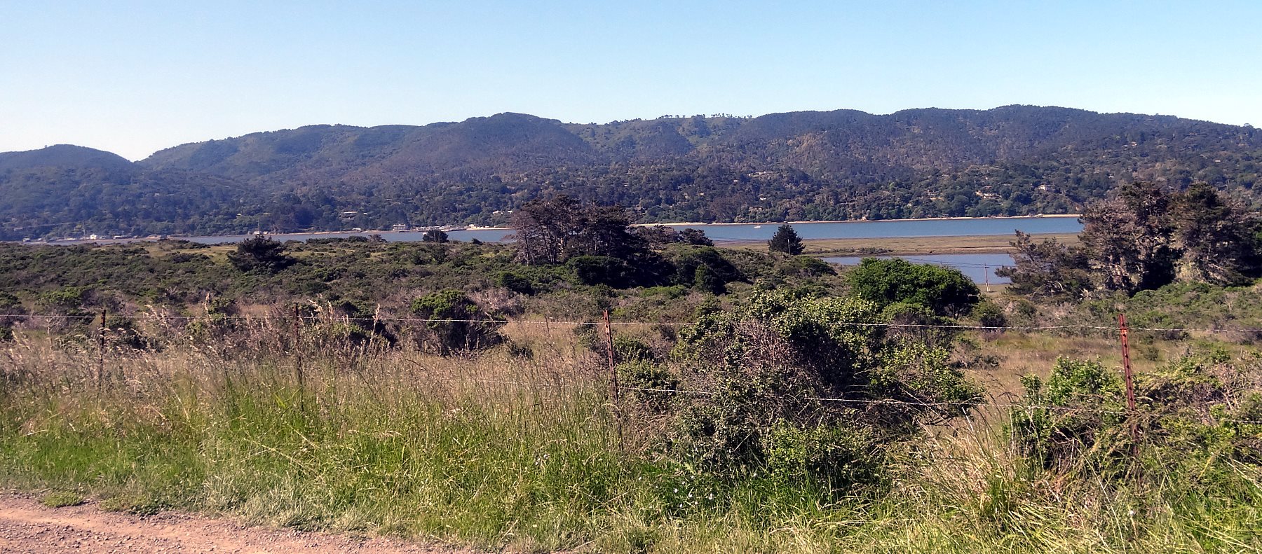
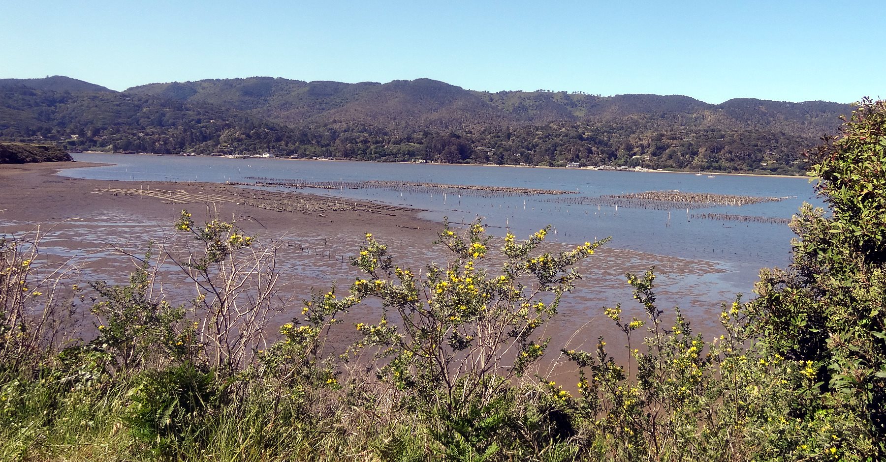
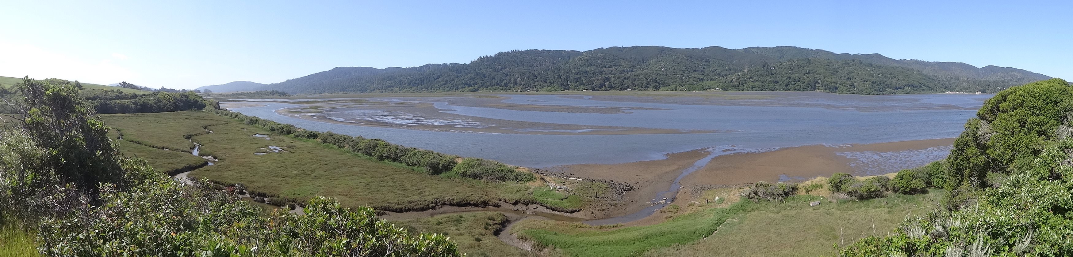
This is along the first road from the main hiway, Hiway 101, to the North Coast. A lot of abalone divers go this way and they may stop at small Sporting Goods or Hardware stores that are actually well equipped Dive Shops. Just a small store, but my kinda place.
You might find quite a display from dive trips past. Abalone diving is not just a sport, it is a tradition of families that includes family members young and old. I well know the lore of the North Coast Divers. It is a story of challenge, excitement and beauty.
I missed the turn down Hiway 1 twice, but finally found it. It was even a little narrower than I recalled. Just about everything south of this is the San Francisco National Seashore including Tomales Bay, Drakes Bay, Point Reyes and the Marin Headlands. It is basically just a beautiful coastal area preserved as a park for the Bay Area 50 miles south.
The road opens up some as you go through the hills. Really, the soil is rocky and not so fertile, so it is an area for pastures of sheep and cattle. It is a lonely place with scattered farmhouses.
After a ways, I came to Keyes Creek, so I knew I was approaching Tomales Bay.
This is a harsh place of rock, grasses and coastal shrubs.
Anywhere that there is water will be a concentration of life including copses of fir and eucalyptus trees. Any creek will support a vital concentration of plants, insects and birds.
(Wide) Over a hill is Tomalas Bay. It is about 15 miles long and at most a mile wide, separating Point Reyes from Marin. It has a choke point at the entrance there where it narrows, that makes for wicked currents. Of course there some hearty souls that ignore the currents and sharks to dive for halibut when the tide changes.
(Wide) Tomales Bay is an odd place. It is so straight, narrow and shallow. It is the San Andreas fault dropping a little underwater before it heads into the ocean at Bodega Bay. Each side of the bay is on a different tectonic plate. This side is heading slowly south. Point Reyes, like Bodega Head is going north. For the next 30 miles, the road follows the fault.
(Wide) The bay is shallow with strong tides. It gives meaning to the term Mud Flats, but it is a place of thick life in that thick mud.
There are lots of pretty flowers in the moist marine environment, but look closely instead at the three shiny leaves in the lower right. Leave that alone. That is Poison Oak, the maker of long lasting unpleasant memories.
It is a big place with many inlets, some of which have oyster farms.
On the far side is the granite of Point Reyes, a more popular place to put vacation houses than the muddy continental side.
The many Oyster Farms can provide the freshest oysters you could desire... if you desire oysters...
Knarled oak trees scrape out a living along the shores.
(Wide) It's mud, mud, mud, deep mud as far as the eye can see. It's full of life. The birds love it...
The ground rises back to pasture lands and tree covered knolls where the rocky bones of the Earth poke through.